 An official website of the United States government.
 Official websites use .gov
A .gov website belongs to an official government organization in the United States.
Official websites use .gov
A .gov website belongs to an official government organization in the United States.
 Secure .gov websites use HTTPS
A lock or https:// means you’ve safely connected to the .gov website. Share sensitive information only on official, secure websites.
Secure .gov websites use HTTPS
A lock or https:// means you’ve safely connected to the .gov website. Share sensitive information only on official, secure websites.
The Southeast Coastal Ocean Observing Regional Association (SECOORA) held its annual spring board and stakeholder meeting May 19-20 in Jacksonville, FL. 60 stakeholders hailing from regional universities, local and federal government bodies, nonprofits, and private industry gathered to discuss the latest developments in the region, share experiences and best practices, and plan for the future of the SECOORA enterprise.
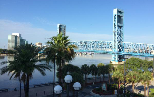
Jacksonville Riverfront. Credit: George Jungbluth
“SECOORA is the Glue that Holds the System Together”
SECOORA Director Deb Hernandez reported on how far SECOORA has come since its inception 5 years ago. A stakeholder survey of SECOORA activities found that SECOORA is making a positive impact in integrating the diverse number of ocean and coastal activities in the region. SECOORA has seen 16% growth in funding levels over the past 5 years, and new stand-alone initiatives such as the high-frequency radar network. More recently, SECOORA is enjoying improving web and social media presence and increasing followers year on year.
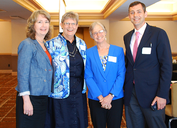
L-R: SECOORA Director Debra Hernandez, Gulf of Mexico Coastal Ocean Observing System (GCOOS) Director Barbara Kirkpatrick, IOOS Association Director Josie Quintrell, IOOS Program Regions, Budget and Policy Chief George Jungbluth. Photo Credit: Abbey Wakely.
SECOORA is engaging the Axiom Corporation on re-visioning the organization’s data management and communications operations. Axiom is currently working with the IOOS Program, as well as IOOS regional Associations in Alaska (AOOS) and Central and Northern California (CENCOOS) to improve and standardize their data management and communications practices. Rob Bochanek from Axiom demonstrated some initial planned capabilities to the SECOORA board, which showed there is potential to both improve the ability to access and use SECOORA data as well as capitalize upon previous IOOS data management investments and standardize some data management approaches across a number of IOOS regional associations.
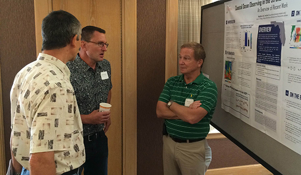
Nick Shay from the University of Miami briefs attendees on IOOS/SECOORA activities supporting the high frequency radar (HFR) network. Credit: George Jungbluth
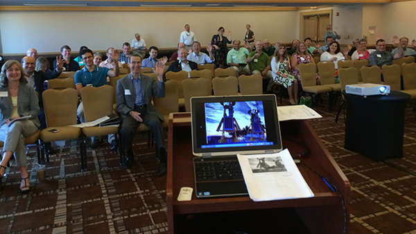
The SECOORA Annual Meeting attendees wave good morning to the IOOS Program on Day 2. Credit: George Jungbluth
Capt. Mike Getchell, Jacksonville Marine Transportation Exchange, Inc gave a very engaging briefing on the capabilities of the Port of Jacksonville Physical Oceanographic Real-Time System) PORTS, which is a network of sensors providing real-time oceanographic data in port areas to promote safe and efficient navigation. PORTS are implemented and maintained by local port authorities, and data is sent to, validated, and disseminated by the the NOAA Center for Operational Oceanic Products and Services (CO-OPS). Implemented with assistance from a Federal grant and with guidance from NOAA and local stakeholders, the Jacksonville PORTS system guides decision-making within the Jacksonville Port system, which is the 4th largest-growing port in the United States and the #1 port for automobile exports nationwide. Captain Getchell spoke about the unique conditions of the port (they run sensors down over 60 miles of river), and stories of some of the recent port operations decisions made benefiting from the PORTS data.
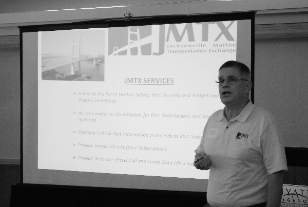
Captain Mike Getchell of the Jacksonville Marine Transportation Exchange briefing at the SECOORA Annual Meeting. Credit: Abbey Wakely
Click here to read the IOOS project briefing, delivered at the meeting by IOOS Program Regions, Budget and Policy Chief George Jungbluth.