 An official website of the United States government.
 Official websites use .gov
A .gov website belongs to an official government organization in the United States.
Official websites use .gov
A .gov website belongs to an official government organization in the United States.
 Secure .gov websites use HTTPS
A lock or https:// means you’ve safely connected to the .gov website. Share sensitive information only on official, secure websites.
Secure .gov websites use HTTPS
A lock or https:// means you’ve safely connected to the .gov website. Share sensitive information only on official, secure websites.
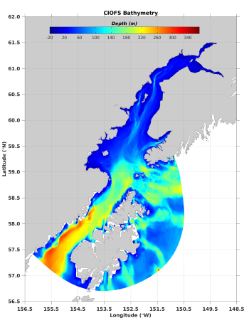
Bathymetry data from the NOAA Cook Inlet Operational Forecast System
This project will accelerate the transition of enhanced public ocean information tools and visualization products based on NOAA’s Cook Inlet Ocean Forecast System (CIOFS). The project will create an accessible and user-friendly ocean model-based particle trajectory application using code adapted from multiple particle drivers including OpenDrift, producing a fully 3-D operational particle trajectory hindcast/forecast tool that interfaces directly with CIOFS output. This broader operational level of utility for CIOFS will help satisfy regional stakeholder needs for improved information and user-tools required for incident response planning, resource management, navigation services, model output evaluation, and environmental research. The tool and products advanced during this project will be adaptable to other circulation models in other regions, extending their utility beyond Alaska and CIOFS, and will complement the existing WebGNOME efforts by the NOAA Office of Response and Restoration (ORR) for spill response support.
Funding:
- Year 1: $298,373
- Year 2: $299,629
- Year 3: $300,726
- Total: $898,728
Partners:
AOOS, Prince William Sound Science Center, Axiom Data, NOAA Kasitsna Bay Laboratory, Cook Inlet Regional Citizens Advisory Pane